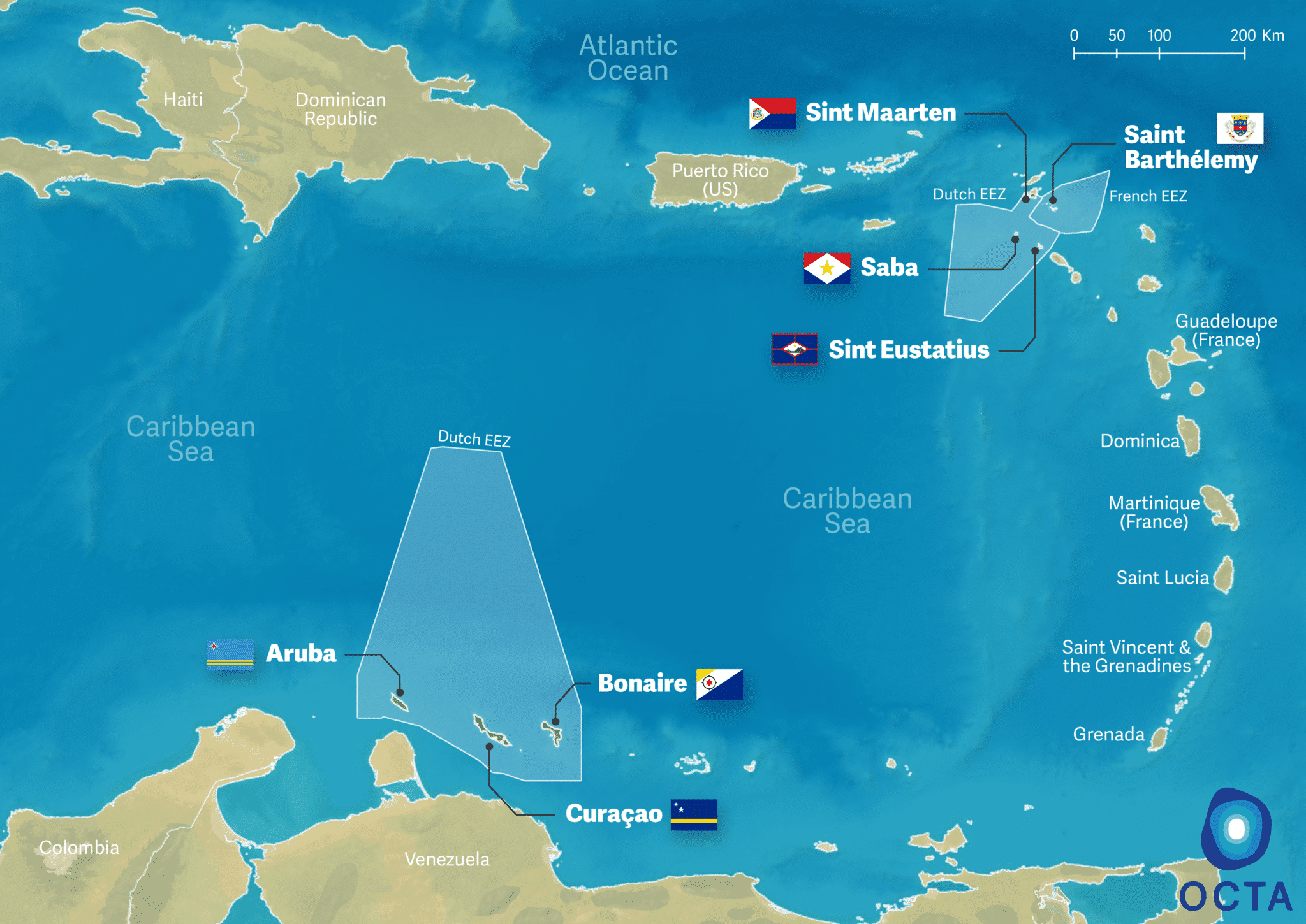
Overseas Countries
and Territories Association
Overseas Countries
and Territories Association
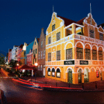
![Handelskade [JPG]](https://www.overseas-association.eu/content/uploads/2021/03/Handelskade-JPG-150x150.jpg)
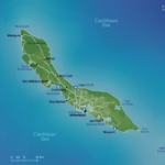
Curaçao is an island in the Southern Caribbean, about 64 km off the coast of Venezuela. Its surface area is 444 km2 and its population 158 659 (2019). Together with Aruba and Bonaire it forms a group referred to as the ABC islands.
The official languages are Papiamento, Dutch and English.
Ann Groot-Philipps
Senior Officer-Brussels affairs
Member of the Executive Committee of OCTA
Curaçao is approximately 62 km long and 4 to 14 km wide, the smallest width being in the middle of the island. Curaçao is predominantly flat but has hills alongside its entire length. The highest hill, the Sint Christoffelberg, rises 372 m high and is the first element sighted in the approach from the north or west. Sint Barbara, 194 m high, is the first thing seen in the approach from the east. Tafelberg, 230 m high and Sint Antonieberg, 172 m high, also are in the east.
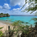
Curaçao is located outside the hurricane belt and has a semi-arid climate making it warm and sunny all year round. The average temperature is about 27° C. Cooling trade winds blow constantly from the East, picking up in the spring months. The rainy season is October through February and annual rainfall averages 570 mm. With its desert-like vegetation, Curaçao has numerous species of cactus, thorny shrubs, evergreens and a national tree called the divi-divi, whose branches point westward, or downwind.
On October 10th, 2010 Curaçao obtained the status of autonomous country within the Kingdom of the Netherlands. The Head of State is the King of the Netherlands, represented by a Governor who is appointed by him. Despite being the head of the government, the Governor has no ministerial responsibility and does not participate in the day-to-day business of the government. Curaçao has a Parliament and a Council of Ministers, headed by the Governor. The public administration counts 9 Ministries.
There is also a Common Court of Justice for the Kingdom Entities.
Curaçao’s main economic activities are tourism, oil refinery and transhipment, trade and offshore sectors. Almost all consumer and capital goods are imported, with the US, the Netherlands, and Venezuela being the major suppliers. Curacao has an excellent natural harbor that can accommodate large oil tankers, and the port of Willemstad hosts a free trade zone and a dry dock.
Tourism is an increasingly important sector of Curaçao’s economy today. Most tourists come to the island to scuba dive. With 50 species of coral and hundreds of species of fish, Curaçao’s dozens of dive sites are popular.
Guided by the UNDP’s methods and best practices, the Curaçao’s National Development Plan for 2015-2030 work on the eradication of poverty and creation of shared prosperity, the promotion of health, free and accessible education, a clean environment, sustainable energy, water management, and safety for all citizens. It integrates four Sustainable Development Goals (SDGs): improving education; Ensuring access to affordable, reliable, sustainable and modern energy for all; economic growth; conserving and sustainably using the oceans, seas and marine resources for sustainable development.
GDP: 5 552 million ANG (2019)
GDP per capita: 34 995 ANG (2019)
Curaçao is increasingly taking part in EU programmes. So far, it has been successfully involved in Erasmus+, BEST2.0 and European Solidarity Corps.
For more information, click here
The head of government in Curaçao is